Description
Looking to get into mapping?
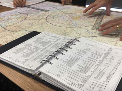
This course is designed to get you all the info you need to move into mapping and 3D image capturing with our resident mapping guru, Jerry. Jerry will take you through the ins and outs of mapping and 3D imagery with your drone.
By the end of the day you will have a comprehensive understanding of
- – Best practices for both camera and drone during a capture process that’s specific to mapping.
- – How to use autonomous flight in the context of mapping, and the various software packages available to achieve that.
- – Considerations when using sensors beyond RGB: Multi-spectral, Hyper-spectral and Thermal.
- – Post -processing and delivering a straightforward 2D map to your client.
- – How to process and deliver in 3D, particularly to non-IT clients.
- – How and why the free QGIS package opens up a world of professional opportunity.
- – How to make yourself look like a professional genius by incorporating free global datasets into your client-delivery.
We will also cover,
- – Mapping water flow.
- – Mapping crops.
- – Mapping fire.
- – Some career path ideas.
The latest innovations and what’s coming down the track
All students will receive a post-course pack that includes links to more in-depth study on all of the subjects we cover throughout the day, plus some suggested self-help mapping exercises to try. They will also receive a digital copy of Jerry’s autobiography “Film Pilot – From James Bond to Hurricane Katrina”


Reviews
There are no reviews yet.